Earthquake hazard and risk: Explanation of what it means
We use your sign-up to provide content in ways you’ve consented to and to improve our understanding of you. This may include adverts from us and 3rd parties based on our understanding. You can unsubscribe at any time. More info
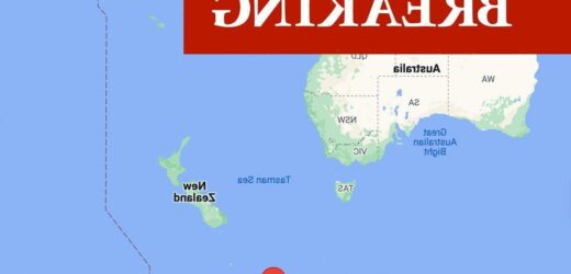
The United States Geological Survey (USGS) indicates that a strong shake was felt at the epicentre of the quake.
The quake was reportedly at a depth of 29.3km (18.21 miles).
The Joint Australian Tsunami Warning Centre has now said that Australia is on tsunami alert

But the US Tsunami Warning System has indicated a tsunami will likely pose little threat following the quake.
This includes to Macquarie, surrounding island territories as well as mainland Australia.
The USGS originally registered the quake as having a magnitude of 7.3, but later revised this figure to 6.7.
Macquarie Island lies about halfway between New Zealand and Antarctica, and has been a part of Tasmania, Australia, since 1900.
This is a breaking story. More to follow.
Source: Read Full Article


