National Forecast, Feb. 11
Janice Dean has your FoxCast.
There are some big weather stories happening over the next few days with some of the coldest air in years arriving across the South and more ice and snow for many regions.
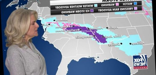
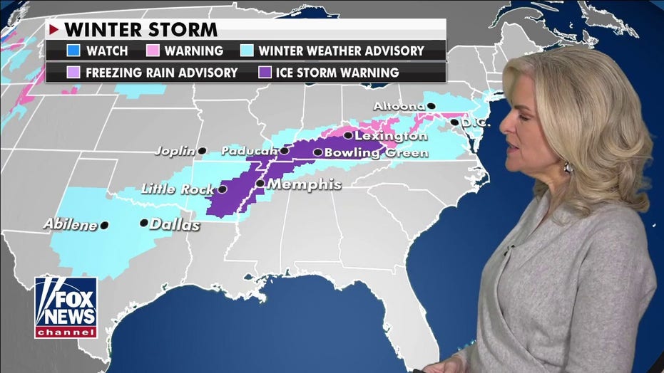
An ongoing ice storm continues Thursday along a stationary front draped across the Mississippi, Tennessee and Ohio River valleys with accumulating ice on the roads, power lines and trees. Dangerous travel, power outages and tree damage will be possible.
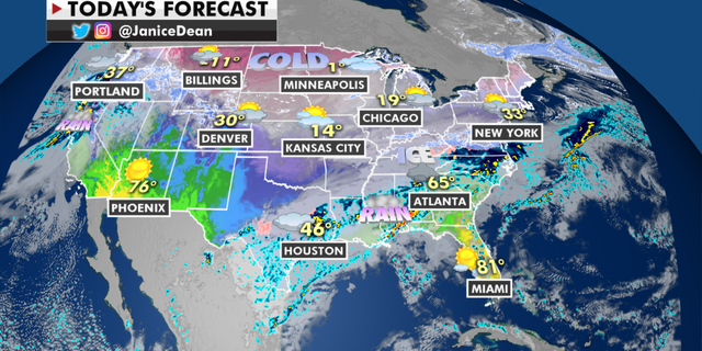
The national forecast for Thursday, Feb. 11. (Fox News)
Ice storm warnings remain in effect from Arkansas to Kentucky. North of the frontal boundary, snow will be possible while south of that line, rain and thunderstorms will be possible.
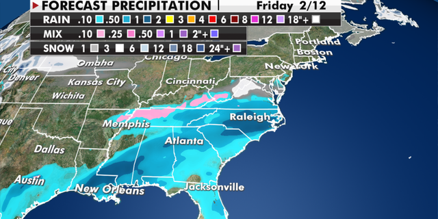
Expected precipitation totals through Friday. (Fox News)
The Pacific Northwest is also very busy with rounds of heavy rain and mountain snow.
It will be cold enough for measurable snow for the cities of Portland and Seattle, as well as freezing rain and or sleet. Yet another system will move in this weekend.
CLICK HERE TO GET THE FOX NEWS APP
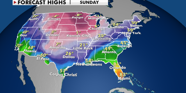
The impressive arctic cold that will spread even further south this weekend has temperatures 20 to 40 degrees below average with dangerous wind chills for the Northern Plains to the Upper Midwest.
Cold temperatures are expected to sweep through the south. (Fox News)
Some areas could experience temperatures that feel as cold as -50 degrees, which could lead to frostbite in just minutes.
Source: Read Full Article
