National Forecast, Feb. 16
Janice Dean has your FoxCast.
A historic active weather pattern will bring another round of rain, snow and ice from Texas to New England right behind the storm that brought record snow, dangerous cold and accumulating ice to millions across the South.
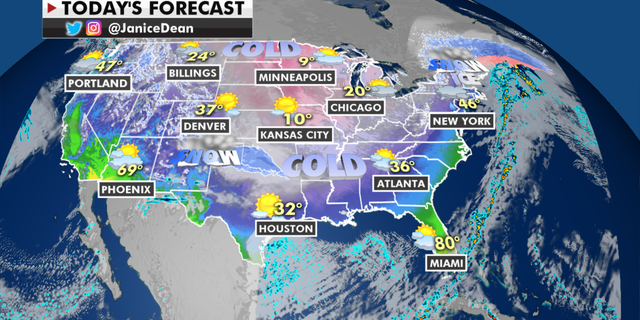
Today, heavy snow and freezing rain will spread across the Great Lakes and New England with measurable ice possible in patches.
The national forecast for Tuesday, Feb. 16. (Fox News)
The trailing cold front from this system will bring heavy rain and possible severe weather for the Southeast and Florida.
TORNADO HITS NORTH CAROLINA, KILLING 3
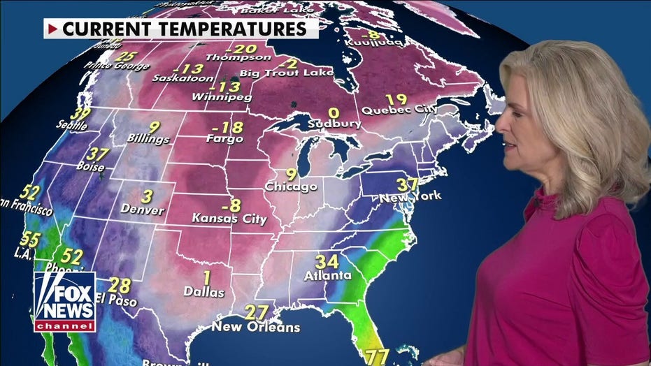
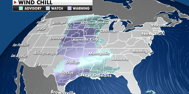
The dome of Arctic air that has spread as far south as the Gulf Coast will continue today before things begin to moderate a little bit starting on Wednesday. Windchill warnings are up where real feel temperatures will dip to dangerous levels below zero.
Weather advisories currently in effect. (Fox News)
The next round of winter weather will spread over the Southern Plains, bringing more measurable snow and ice.
CLICK HERE TO GET THE FOX NEWS APP
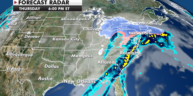
An area of low pressure will track across the lower Mississippi Valley into the Ohio and Tennessee valleys with 3-6 inches of snow and accumulating ice, which once again could bring incredibly dangerous travel conditions, more power outages and tree damage.
The radar looking ahead to later this week. (Fox News)
This storm will move up into the Mid-Atlantic and Northeast Thursday and Friday, bringing more possible icy conditions to this heavily populated region.
Source: Read Full Article
