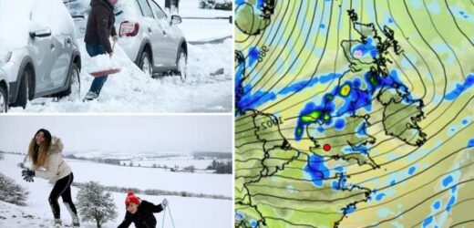
SNOW is expected to hit next week as an Arctic blast sends Britain into the chiller after the Polar Vortex is "knocked off kilter".
The fluffy white stuff could fall as early as next Thursday, the Met Office has warned.
John Hammond, former BBC weatherman and meteorologist for Weathertranding, told the Sun: "There is a modest warming taking place in the stratosphere, which will serve to weaken the Polar Vortex and knock it off-kilter over the next week or two."
He said this could cause "bouts of colder air escaping from the Arctic" to hit the UK "later in October".
He said: "After a very mild few days, much colder air will arrive from the north later next week, which may bring some snow to the Scottish mountains.
"That cold spell may not last all that long, but frost, and eventually snow, will probably figure more frequently in our forecasts before too long."
It comes as The Met Office confirmed snow is "expected on mountain tops across Scotland".
A spokeswoman said the wild weather could turn "sleet into snow" and hit by the early hours of Thursday, October 21, and last all day until 10pm.
They said: "We see colder air move south across the UK Thursday through to next weekend, due to low pressure at the surface moving away to the northeast of the UK, creating a Northern windflow.
"Wintry showers [are] possible in the North Isles and Scottish mountains.
"Colder spell [could be] short lived though as milder Atlantic air returns by Monday, October 25."
It comes as Britain is facing the worst winter storms in 13 years that could dump piles of snow across the country by the end of the month.
A freezing Polar Vortex could blast in within weeks – bringing with it a 'white Halloween' for some.
Parts of Wales and Scotland could be blanketed by 6am on October 24.
But even southern coastlines could get a dusting in a "rare" forecast last seen in 2008.
Hammond said our unusually warm autumn will come to a chilly end soon.
“These high-altitude winds normally intensify as we head towards winter," he said.
"An unusual weakening of the polar vortex may well have impacts on our weather later through autumn and into early winter.
“'Sudden stratospheric warming' events can sometimes lead the polar vortex to go into reverse, which can have dramatic impacts on winter weather and increase the chances of severe cold."
In his recent forecast, Hammond said there were no indications the latest bout of cold weather was not being caused by a reversed Polar Vortex.
However, he reassured Brits that there's no immediate signs of a winter white-out yet.
“The last time that lowland southern Britain saw significant snowfall as early as October was in 2008 – a measure of how rare it is," he said.
But experts said Brits are expected to endure days of wet and windy conditions before the snow hits.
We pay for your stories!
Do you have a story for The Sun news desk?
Email us at [email protected] or call 02077824104. You can WhatsApp us on 07423 720 250. We pay for videos too. Click here to upload yours
Click here to get The Sun newspaper delivered for FREE for the next six weeks.
Source: Read Full Article


